
How do Old Maps Depict the Malawi Region?
The Greek trader Diogenes penetrated into Africa from the Indian Ocean around 104 A.D. and
reported that inland seas existed there (Ransford, 1966); Ptolemy's Geography (150 A.D.)
noted a pair of oval great lakes, probably two of the more northerly ones. Lake Maravi first
appeared on Portuguese maps in 1546, having been reported to Portuguese explorers in 1513.

![]() he earliest hominids we know of that likely knew the lake now variously called Nyasa, Maravi, or Malawi
lived some 50,000 to 60,000 years ago. They left stone tools that have been excavated in
several localities near the lake (Baxter, 2010.
Millennia later, the Kafula or Akafula (also called Batwa) pygmies arrived, a Stone Age group said to have
descended from a mixing of Bushmen with an equatorial-forest people. The Akafula settled the lake region
sometime between 8000 and 1500 years ago (Rafael, 1980;
Ransford, 1966) and survived until roughly 1600 A.D., when
a Bantu people thought to have come from near Lake Victoria arrived and displaced the Akafula.
These Bantu people, skilled ironworkers, were known as the Amaravi
(Baxter, 2010).
he earliest hominids we know of that likely knew the lake now variously called Nyasa, Maravi, or Malawi
lived some 50,000 to 60,000 years ago. They left stone tools that have been excavated in
several localities near the lake (Baxter, 2010.
Millennia later, the Kafula or Akafula (also called Batwa) pygmies arrived, a Stone Age group said to have
descended from a mixing of Bushmen with an equatorial-forest people. The Akafula settled the lake region
sometime between 8000 and 1500 years ago (Rafael, 1980;
Ransford, 1966) and survived until roughly 1600 A.D., when
a Bantu people thought to have come from near Lake Victoria arrived and displaced the Akafula.
These Bantu people, skilled ironworkers, were known as the Amaravi
(Baxter, 2010).
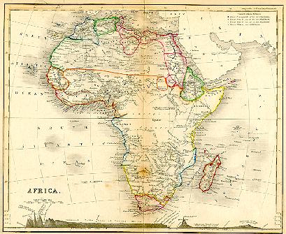
| The hand-colored 1828 English map at right (printed area 14.3 × 11.6 cm, engraved by Fenner) shows strikingly little detail throughout much of inland Africa. Most of the southern part is labeled "Regions Unexplored." Notably, there is no indication of Lakes Victoria and Tankanyika. (Continued below.) | 
|

| The enlargement (left) from the 1828 map, however, shows that L. Maravi is already present (albeit oriented on a NNE - SSW axis) and is placed in roughly correct location west of Mozambique and north of the "Zambeze" River. The lake's uncertain northerly extent is indicated by dotted lines. (Collection of M.K. Oliver) |
|
| 
|

| The enlargement (left) from the 1850 map includes "Lake Nyassi" [sic], now oriented northwest - southeast, at the southern edge of the "Unexplored Country." The lake is dotted with islands. (Collection of M.K. Oliver) |
| At right is part of Map 112 (Africa, Central Part) from the chromolithographed 1897 Century Atlas (The Century Co., New York; 38.0 × 26.6 cm). The increase in detail as a result of exploration since 1850 is phenomenal. (Continued below.) | 
|

| The Lake Nyassa region from the essentially modern 1897 Century Atlas map is enlarged at left. Although many place names have changed in the century since it was printed, even satellite-assisted cartography has wrought relatively small refinements in accuracy. One notable feature of this map is the absence of the shallow saucer of Lake Malombe south of Lake Nyassa (L. Malawi). (Collection of M.K. Oliver) |
![]()
![]()
![]()
![]()

| Last Update: 16 December 2010
Web Author: M. K. Oliver, Ph.D. Copyright © 1997-2021 by M. K. Oliver, Ph.D. - ALL RIGHTS RESERVED |